 |
Fasttrack
to America's Past Teacher Key |
|
|
Fasttrack
to America's Past Teacher Key |
|
 Page 11 |
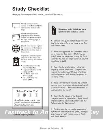
Page 11 - Study Checklist Background for the discussion questions 1. Explain why Spain and... Spain and Portugal face the Atlantic Ocean,
and
were not
along the existing routes to the Far East in 1400. The Italian
trading
cities like Venice and Genoa had control of the European end of the
overland
routes. 2. What new approach did... Columbus knew the world is spherical in shape. He knew that if he sailed westward, he could eventually reach the Far East. Columbus was a very skilled sailor and navigator from Genoa (Italy), but found support for his 1492 expedition from the Spanish monarchs Ferdinand and Isabella.Columbus was mistaken, however, about a key fact. He believed the Earth to be much smaller than it really is, and therefore believed that the Far East was closer than it really is. His ships sailed from Spain to the Canary Islands off the African coast, then went westward across the Atlantic ocean until he landed in the islands of the West Indies. 3. Describe the leading theory... Most scientists believe the Native Americans originated in Northern Asia. The earliest groups came across to what is now Alaska between 11,000 and 40,000 years ago.By the time of European contact, Indian societies had developed widely varied patterns of life. The account of Thomas Harriot (page 1 - 15) shows many similarities between the Native American culture and that of the Europeans. In both cultures, towns existed with leaders and governments. Both cultures had well-developed religious ideas, and worshiped in special houses or churches. Both depended mainly on agriculture for food. Some contrasts can also be found. Native Americans had not developed the technology familiar to the Europeans of that time, such as clocks, iron weapons, compasses, etc. Indians did not develop writing as Europeans had. The Indians that Thomas Harriot met believed that the gods created a woman first, while Christian Europeans believed that a man (Adam) was created first. 4. What were the main reasons... Students should recognize three main forces
behind the
Spanish conquest: "Gold, God, and Glory." 5. Describe the impact of... The Spanish conquest was a disaster for Native Americans living at that time. Indian social and economic life was totally disrupted and in many cases destroyed in the areas of European conquest. Many groups disappeared entirely, and others were reduced by epidemics of European diseases.As Europeans like Bartolome de Las Casas began to question the actions of the Spanish conquest, an important question appeared: Are all the world's people equally human, even if they differ greatly in appearance and ways of life? The question was studied and widely debated by religious leaders and scholars of the 1500s. The debate led to a proclamation from the Catholic Church and the Spanish king that Indians must not be enslaved or abused. Still, the understanding that all groups are equally human, and equally entitled to human rights and dignity, was long undermined by social attitudes based on racism. Erasing such attitudes has been one of the great challenges for the people of the world in modern times. 6. Explain how the geographic... The patterns of conquest in the Age of
Discovery
are still
visible on a modern map that shows languages spoken by today's
populations.
Such maps can be found in specialized atlases, or students can create
their
own on a blank map of the Western Hemisphere. |
|
Copyright Notice
Copyright 2018 by David Burns. All rights reserved. Illustrations and reading selections appearing in this work are taken from sources in the public domain and from private collections used by permission. Sources include: the Dover Pictorial Archive, the Library of Congress, The National Archives, The Hart Publishing Co., Corel Corporation and its licensors, Nova Development Corporation and its licensors, and others. Maps were created or adapted by the author using reference maps from the United States Geological Survey and Cartesia Software. Please see the home page for this title for more information. |